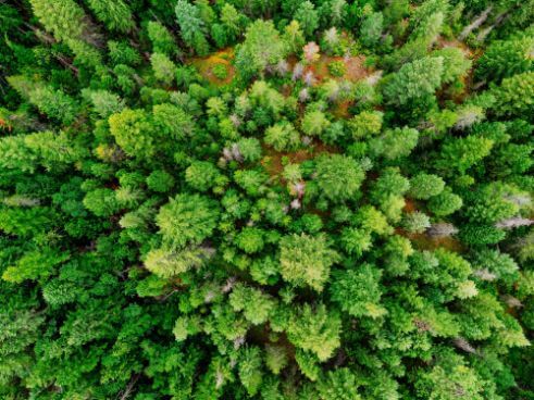
Thermal cameras to manage forests.
The use of drones and thermal imaging to help with the conservation and tracking of endangered wildlife.
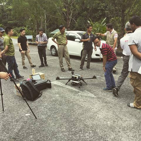
SFC-Naim A2 POC from Airborne Drones on Vimeo.
This video shows Airborne Drones visiting the Semonggoh Wildlife Centre near Kuching in Malaysia to demonstrate the specialist applications of thermal imaging at night and high definition video feed for protection of the endangered orangutan nests in the rainforest.
Orangutans are native to the rainforests of Indonesia and Malaysia but are now found only in parts of Borneo and Sumatra. Previously they were found throughout Southeast Asia and South China. They make nests to sleep in which, because of its heat signature can be tracked with thermal cameras.

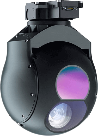
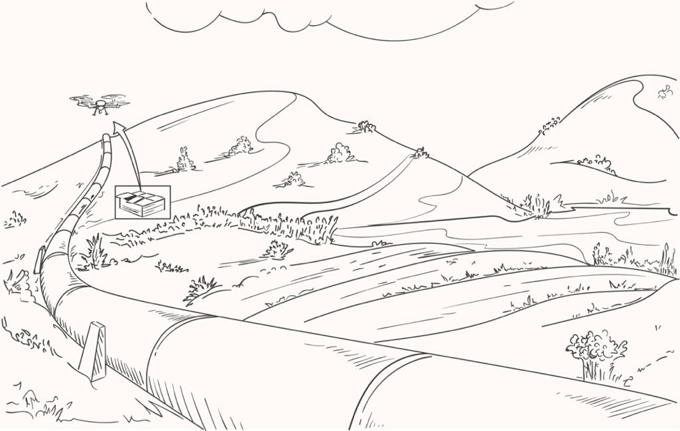
Using waypoint GPS navigation the drone is allowed to fly on its own to its destination and hover manually at “Points of Interest” which are all pre-planned and configured into the drone’s autopilot software. Heat detection allows you to see equally well in highly lit and completely dark environments, combining this with HD feed provides an innovative platform for managing conservation of the endangered rainforest.
Thermal cameras to manage forests with drones
This combination of technology has revolutionised the forestry management’s ability to effectively and economically monitor the health of its inhabitants.