Atlas-V
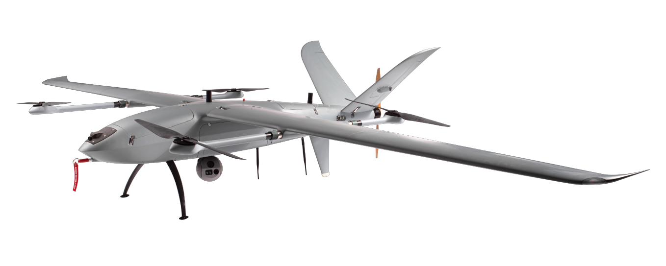
A POWERFUL BVLOS SOLUTION
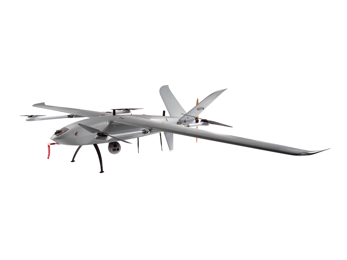
The Atlas-V UAV has a maximum cruising speed of 115km/h, and the maximum operating altitude is 3500m. The UAV endurance is up to 5 hours for the electric model and up to 10 hours for the fuel model.
The purpose-built propulsion system, complemented by extended payload options and rapid payload integration, offers optimised performance.
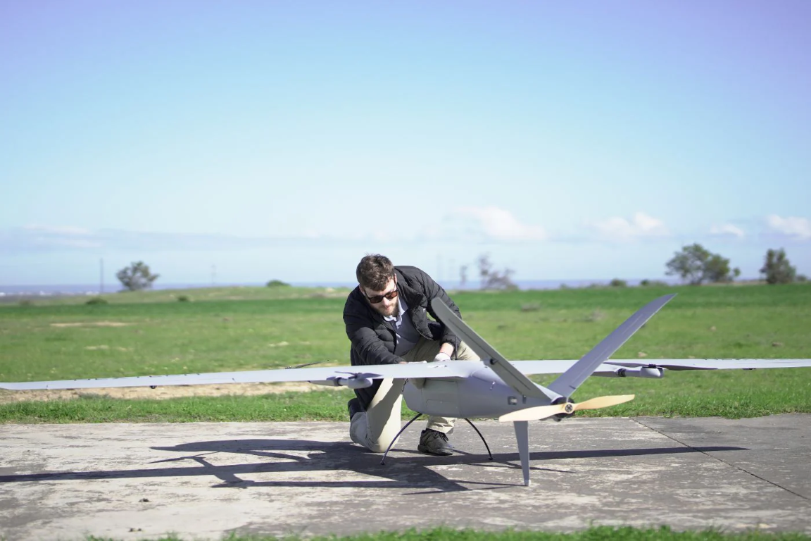
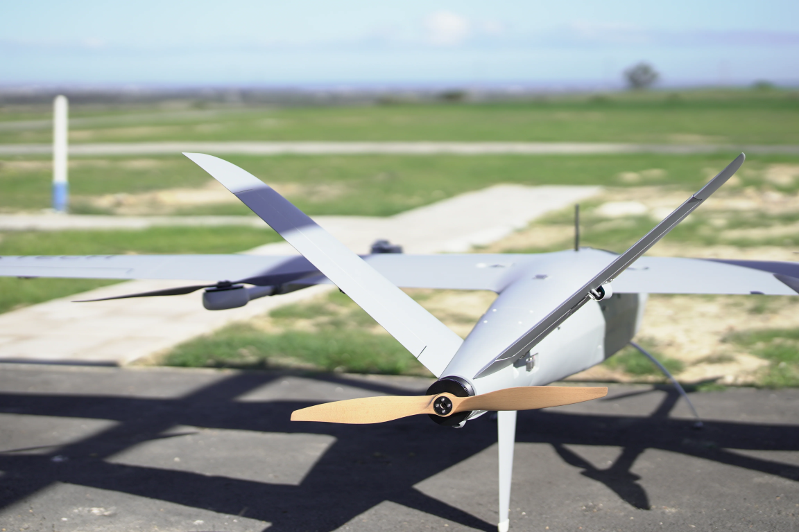
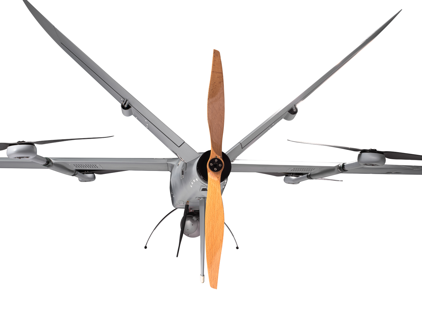
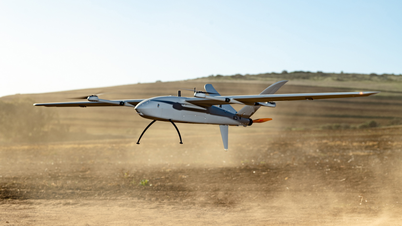
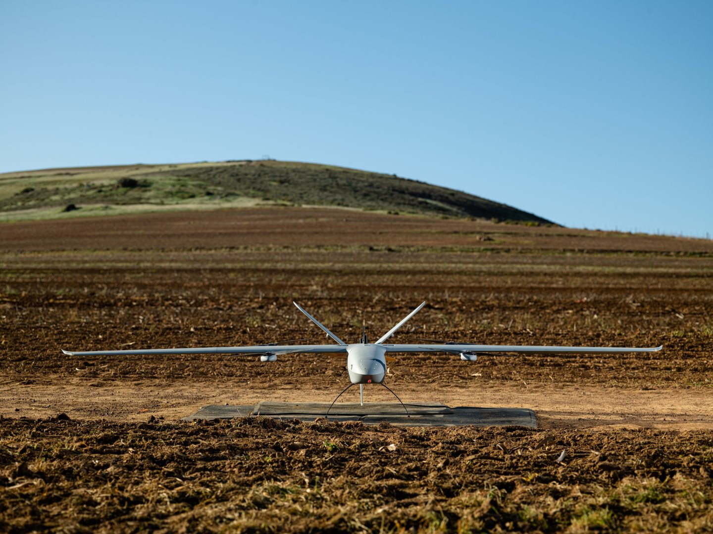
A VTOL fixed-wing with between 3-6 meter wingspan and a communication range of up to 100kms that can be deployed for any application that requires BOTH high endurance and secure reliable long-range communications to multiple command stations in real-time.
Reduced RF Interference
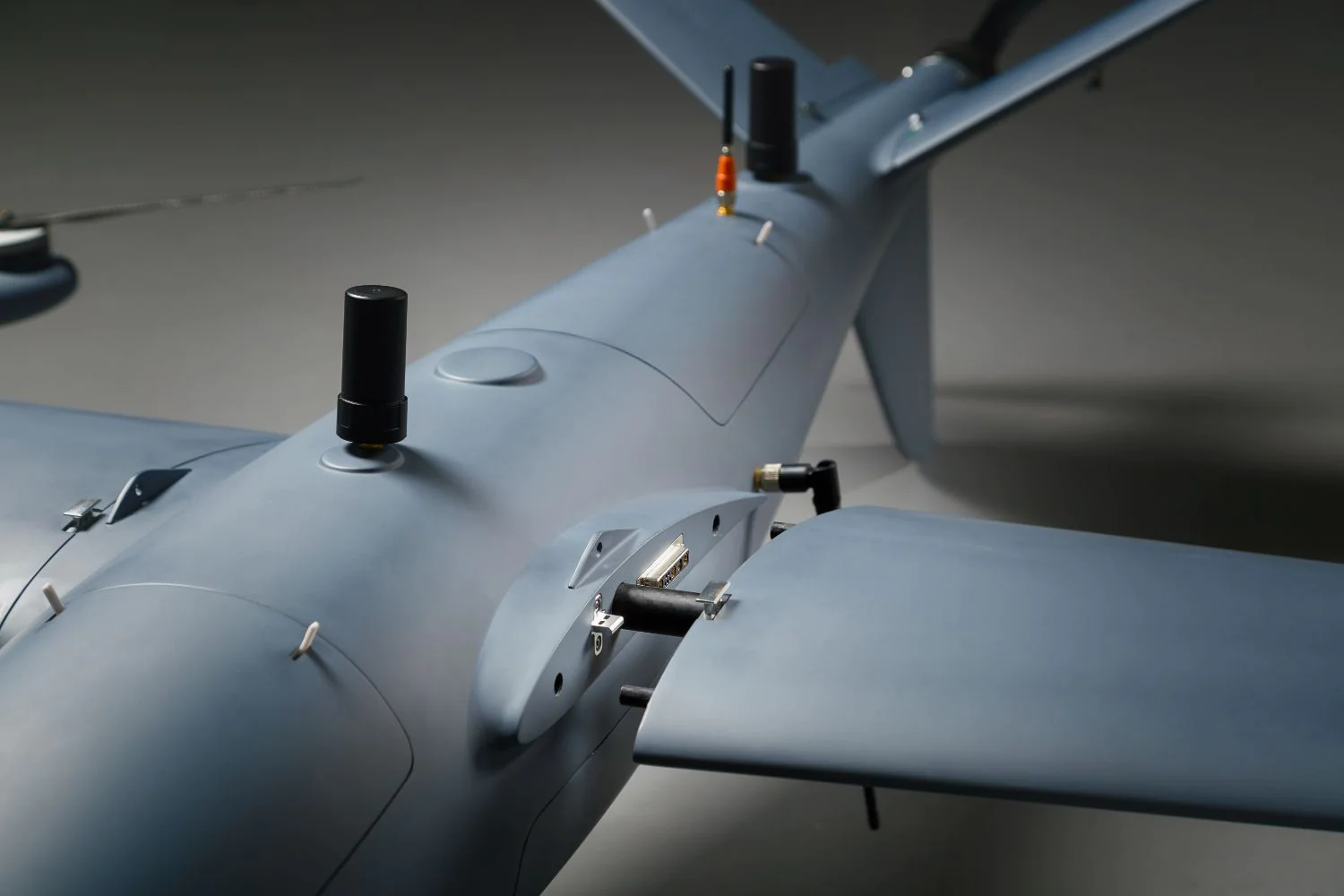
Specifically designed to provide reduced Electronic Magnetic Interference (EMI) of up to 70% compared to other designs, the Atlas-V ensures that you get the full value of your digital datalink and allows the integration of electronically sensitive payloads.
Its robust navigational system further enhances operational capability, safety, and reliability.
Persistent and Pervasive Surveillance
The silent electrical propulsion and long-range real-time feedback link make this platform ideal to provide persistent, and stealthy, ISR (intelligence, surveillance, and reconnaissance), over your aircraft’s full area of coverage (both day and night).
This long-range video feedback can further be broadcasted to multiple ground teams or command stations.
Safer infrastructure Inspections
Safety is an important aspect when conducting inspections of major infrastructures such as oil refineries, wind farms, pipelines inspections, factories, etc, where combustion engines provide a higher level of risk etc.
Electrically propelled UAVs provide an effective, as well as cleaner, alternative.

endurance

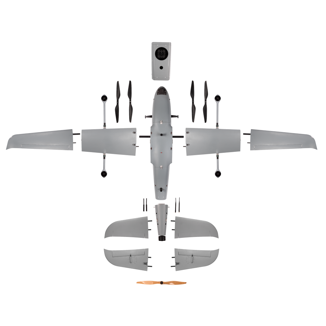
The Atlas-V has been carefully designed to provide the ideal balance between Endurance and Range for the fuel model
Accuracy

ATLAS-V boasts an impressive accuracy level, achieving pinpoint precision with less than 1 cm pointing accuracy thanks to its dual GPS system.
CruiseSpeed

With a max cruise speed of 100km/hour, Atlas-V is designed for swift deployment, allowing you to respond to critical situations promptly. Its quick launch capabilities ensure you are up and running within minutes
payload

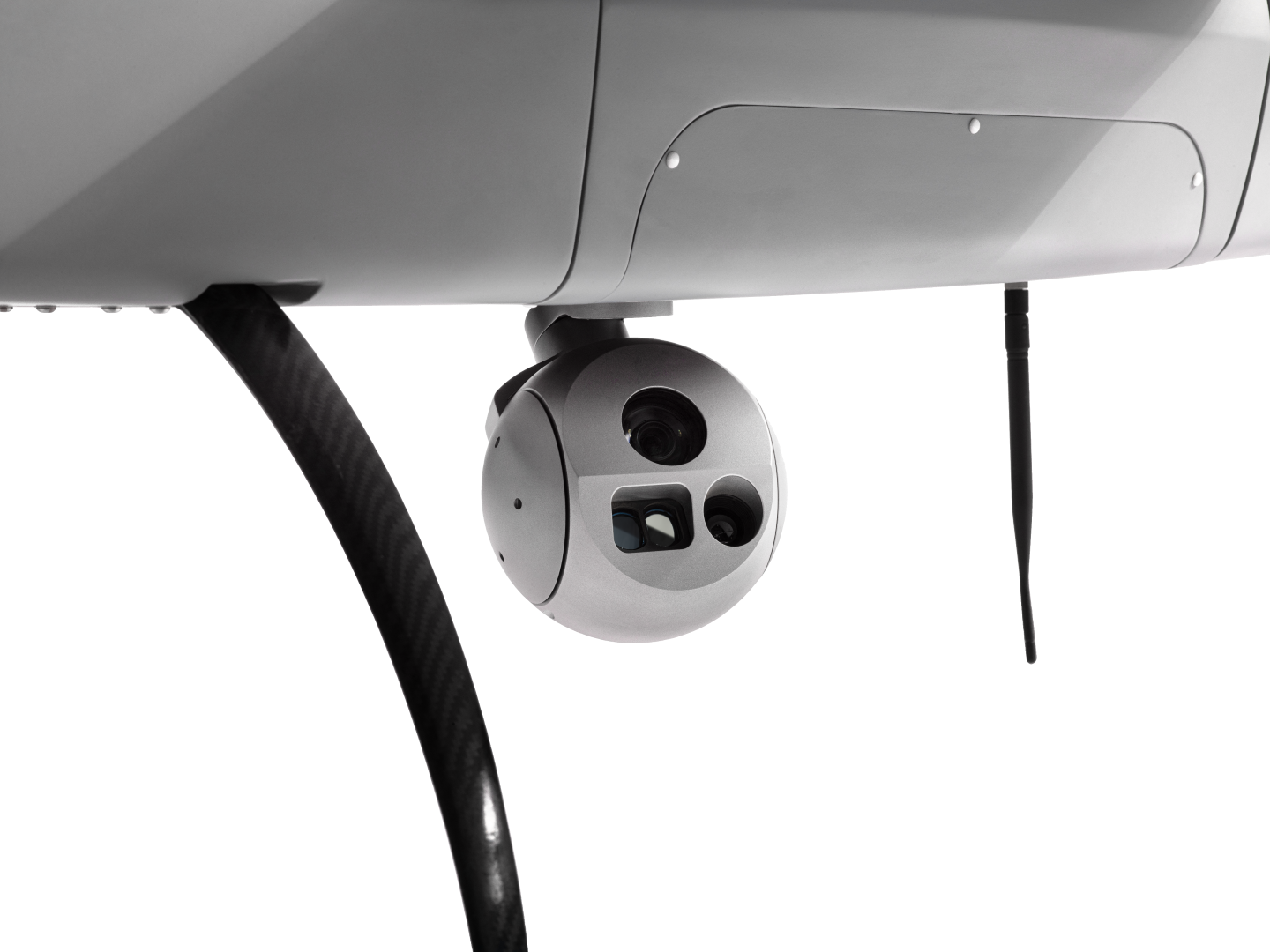
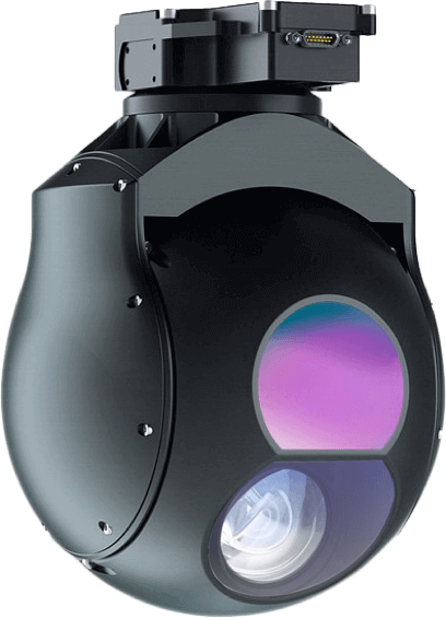
The Atlas-V accommodates multiple/various payloads including high-resolution mapping systems to advanced surveillance EO/IR cameras with object tracking and more.
range

The Atlas-V has been carefully designed to provide the ideal balance between Endurance and Range
network

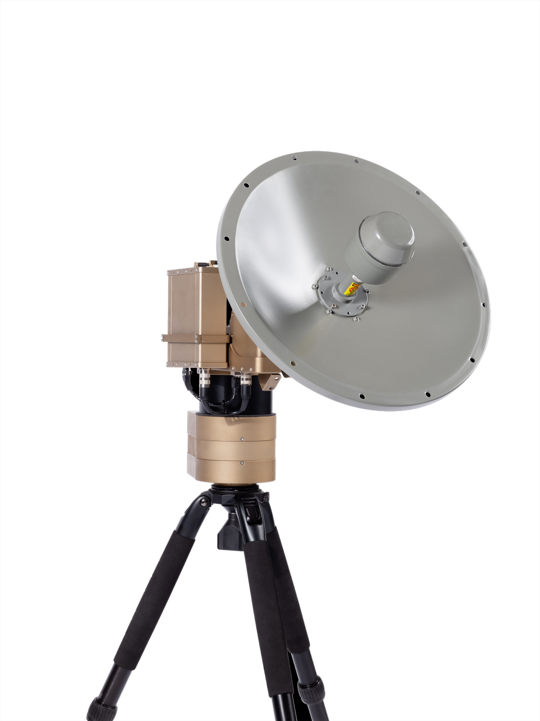
Security is at the core of the Atlas-V’s design. Utilizing advanced encryption protocols and secure communication channels, the UAV ensures that mission-critical data remains protected from unauthorized access.
vtol

The Vertical Take-Off and Landing (VTOL) capability allows the Atlas-V to operate without the need for extensive runways or launch infrastructure. This agility is vital for conducting surveillance in challenging terrains and remote locations, making it the ideal choice for diverse border landscapes.
Autonomous

The Atlas-V is designed with the user in mind. Its intuitive interface and autonomous flight modes, including waypoint navigation and follow-me, make piloting effortless, allowing you to focus on mission objectives. Atlas-V puts safety first with obstacle detection and avoidance systems, geo-fencing, and return-to-home features.
data & Intelligence

In the heat of action, real-time data and intelligence are paramount. The Atlas-V excels in relaying live feeds and critical information to command centers, providing decision-makers with the insights they need for swift and informed actions.
Atlas-V UAS Design Philosophy
The Atlas-V is a fixed-wing VTOL unmanned aerial system (UAS) designed and manufactured by NEXTECH, to support multiple missions as well as search-and-rescue (SAR) teams. The purpose-built propulsion system, complemented by extended payload options and rapid payload integration, offers optimised performance.
Atlas-V UAS Applications
Security and Surveillance – Silent electrical propulsion with 2 EO/IR dual sensor gimbal system, object detection, tracking, video recording and ideally suited for stealthy security and surveillance applications, day, or night. Inspection and Detection – Safe inspections of long-range infrastructure installations and management.
As well as a variety of other applications from Mapping to Agriculture, Search and Rescue, Wildlife and Game monitoring, Disaster Management and many more.

Natural disasters and drones have become a very popular topic, one key example being the earthquake and tsunami in Indonesia that shook the globe. The deployment of drones in this disaster featured in international headlines. Nearly every week another natural disaster somewhere in the world makes another headline. Natural disasters seem to occur particularly on the Pacific Rim’s geologically active “Ring of Fire”. Estimates of 2018 costs of natural disasters amount to $155billion.
As we speak more are recorded and more are projected. Climate change is blamed for much of this. Disaster relief efforts worldwide are making use of drones. This is especially true in regions lacking advanced infrastructure.
SAR missions generally seek to rescue humans or other warm blooded life forms. Thermal cameras are ideal for this as body heat naturally makes humans stand out from plant life, making them easy to spot.
Almost all commercial drones come equipped with GPS, allowing the pilot to offer rescue teams the exact GPS coordinates of the subjects once they have been spotted. With the live view feature of any search and rescue drone, the pilot can also guide rescue crews to their location.
Rescue drones are designed to provide cost effective, real time data and imaging, day or night, in challenging conditions and without risk to personnel.
Aiding in the search for missing persons is the infrared (IR) thermal imaging camera that can detect human body heat. This capability greatly increases the ability to find people or objects at night that may be hidden, even during daytime operations.
Safeguard critical infrastructure and monitor sensitive locations with unparalleled precision.
Surveillance is the close observation of a person, group of people, behaviors, activities, infrastructure, building, etc for the purpose of managing, influencing, directing or protecting. There are several different methods of surveillance namely GPS tracking, camera observation, and stake-outs. Additionally, you can use data mining, profiling, and biometric surveillance.
Nextech’s UAVs and sub-systems solve for the constraints with traditional surveillance methods which are typically limited by the stationary nature of handheld or fixed cameras and high costs involved, for example with Helicopter surveillance.
Rural areas tend to have poorer infrastructures and may be more difficult to reach by traditional delivery methods. Delivery by drone can help to overcome this problem, providing occupants of rural areas with deliveries of everything from online shopping orders, to emergency medical supplies. Drones can help to reduce, and eventually replace, the existing complex processes of reaching rural areas, such as cars, boats, and postal workers.
Since the pandemic, Drones have become increasingly popular in the delivery of medical supplies. Some use cases for delivery by drones in the critical supplies category during the pandemic are:
- fly quarantine supplies and medical samples.
- contactless deliveries take humans out of the process to decrease COVID-19’s rate of spreading.
- bringing COVID-19 testing samples to laboratories by drones, helps the quick diagnosis and quarantining of infected citizens.
- used to safely transport medical supplies into hospitals where COVID-19 patients are being treated avoids the danger to the average courier, who might contract the disease and then go on to infect even more people, but delivery drones make this task safe.
Wildlife control is the method by which the position and health of wildlife and game is monitored. Methods typically vary depending on the size of the area and the number of wild animals. Nextech’s Atlas-V drone enables all wildlife control methods by obtaining information regarding the position and condition of the game and land with high-precision data for topographical surveys, multispectral imaging, object tracking using LiDAR sensors and thermal imagers, and advanced security and surveillance of game.
Powered by real-time data and intelligence providing live feeds and data transmission to central command centers, empowering wildlife and game reserves to make informed decisions and respond swiftly to any threatening situations.
Nextech’s UAVs provide long-range and high endurance flight missions that solve for missions in the wildlife and game industries, namely anti-poaching operations, species identification, migration tracking, topographical mapping and surveys and habitat management. However with Nextech’s cutting edge technology enabling multiple payload integrations our UAV and UAS solutions can be tailored to your specific operation.
Optimize your crop management with multispectral imaging, NDVI analysis, and precision agriculture techniques.
Managing huge farms with limited manpower requires more advanced use of technologies, including drones. One notable growing industry within the agricultural industry is the rise of cannabis farmers, globally. Many of these farmers use drone technology to bring precision agriculture to their cannabis fields for plant counting and canopy sizing. Therefore, instead of “walking the field” to estimate size, farmers are using drones (and AI) to count and size plants.
Nextech’s intelligent UAV technology generates quantitative analytics to evaluate the varieties, opportunities for surface replanting and monitors sexual maturity and harvest opportunities to prevent the loss of CBD concentration. Another major benefit of using drones in hemp and CBD farming is the ability to monitor plant health. This imagery is also ideal for capturing crops and processing vegetative indices (such as NDVI or VARI). It also allows for counting of crops and identifying water pooling.
Nextech’s Atlas-V is designed with high-precision data allowing for unparalleled topographical surveying and mapping. With its rapid deployment of under 5 minutes and its dual GPS tracking accurate to 5m, the Atlas-V provides exceptional performance in disaster management missions.
Type
Fixed-wing Electrical Propulsion
Flight Time
5 hours (dependant on the payload weight)
Flight Path
400 km
Deployment
under 5min
Flying Software
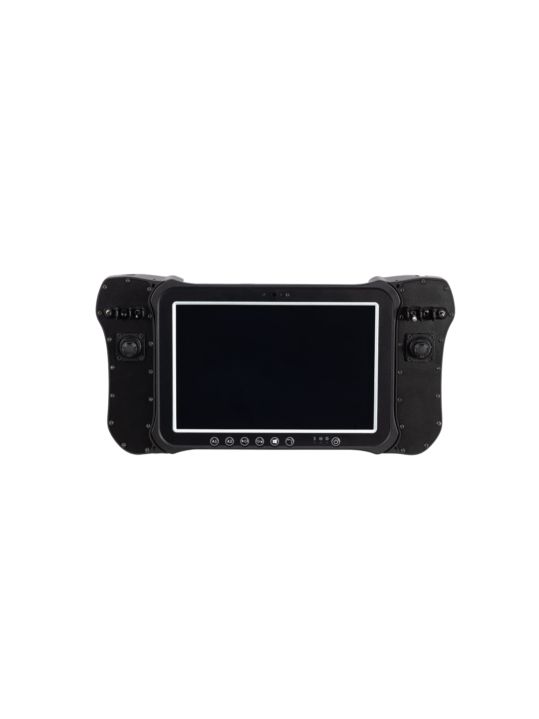
We provide a laptop with the flying software pre-loaded.
Flight Characteristics
VTOL (Vertical Take-off and landing) no need for launch or recovery equipment nor a runway.
Cruise Speed
80 km/h
Stall Speed
56-57.5km/h
Flight Ceiling
3500m ASL
Launch /Land altitude
2000m ASL
Maximum Wind Speeds
45 km/h
Gusts up to
50 km/h
Launch/ Land Maximum Wind Speeds
18 km/h
Launch/Land Gusts up to
35 km/h
Operating Temperatures
min: -5°C RTF | max: 50°C RTF
Length, Width, Height
L 1260mm, W 2500mm, H 500mm
Frame Weight
3.2kg
Total Weight
6.6kg without battery and payload
Max Take-off Weight
13.5kg
Payload
1.5-3kg
Communications
Up to 25Mbps 20W @2,4Ghz 10/100 ethernet 2×2 MIMO
Payload Flexibility
Multi-payload support 40+ different payloads adaptable, payloads including high-resolution mapping systems to advanced surveillance EO/IR cameras with object tracking and more.
Propulsion
Electrical
Power Source
2 x 6S 27000mAh rechargeable batteries
Handling
2 x 6S 27000mAh rechargeable batteries
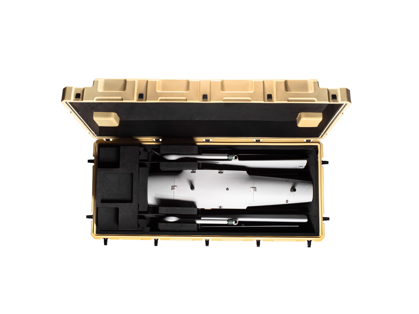
Transportation Case (L x W x H)
UAV Case:1520x430x570mm GCS Case: 836x641x489mm
Shipment (International Delivery)
Large Solid Wood crates for safe shipment
Training
Full training provided
Warranty
12 Months
Spare Part package
2 Year, 3 Year and 5 Year packages available
Maintenance Package
2 Year, 3 Year and 5 Year packages available
After-sales report
Provided and customizable as per end-user requirements
Type
Fixed-wing Fuel internal combustion
Flight Time
10 hours (dependant on the payload weight)
Flight Path
800 km
Deployment
under 15 min
Flying Software
We provide a laptop with the flying software pre-loaded.
Flight Characteristics
VTOL (Vertical Take-off and landing) no need for launch or recovery equipment nor a runway.
Cruise Speed
115 km/h
Stall Speed
56-57.5km/h
Flight Ceiling
3500m ASL
Launch /Land altitude
2000m ASL
Maximum Wind Speeds
45 km/h
Gusts up to
50 km/h
Launch/ Land Maximum Wind Speeds
18 km/h
Launch/Land Gusts up to
35 km/h
Operating Temperatures
min: -5°C RTF | max: 50°C RTF
Length, Width, Height
L 1260mm, W 2500mm, H 500mm
Frame Weight
3.2kg
Total Weight
6.6kg without battery and payload
Max Take-off Weight
50 kg
Payload
15 kg
Communications
Up to 25Mbps 20W @2,4Ghz 10/100 ethernet 2×2 MIMO
Payload Flexibility
Multi-payload support 40+ different payloads adaptable, payloads including high-resolution mapping systems to advanced surveillance EO/IR cameras with object tracking and more.
Propulsion
Internal combustion
Power Source
Electric LIPO battery (141P) / petrol
Handling
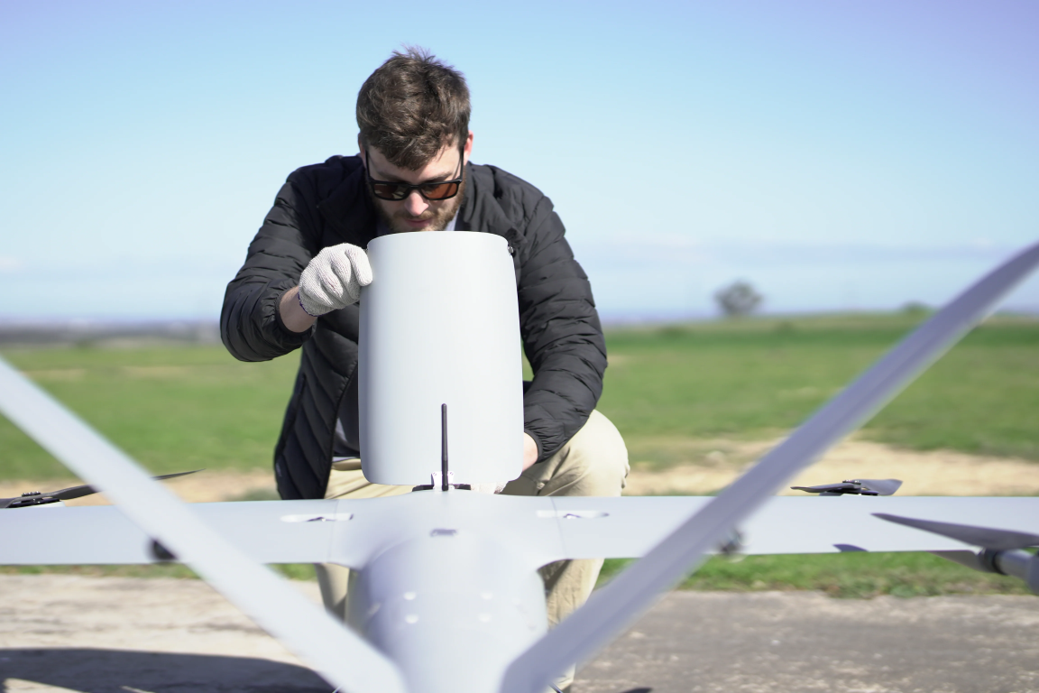
Compact modular design means that the aircraft can be rapidly assembled and deployed, by one person.
Transportation Case (L x W x H)
2m x 0.6m x 1m + 2m x 1m x 0.8m
Shipment (International Delivery)
Large Solid Wood crates for safe shipment
Training
Full training provided
Warranty
12 Months
Spare Part package
2 Year, 3 Year and 5 Year packages available
Maintenance Package
Provided and customizable as per end-user requirements
After-sales report
Available and customizable as per end-user requirements