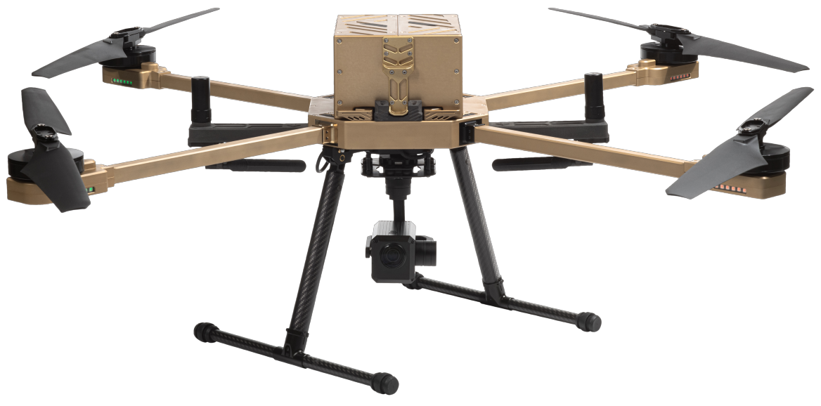
Mapping & Surveying Drones
How our drones help
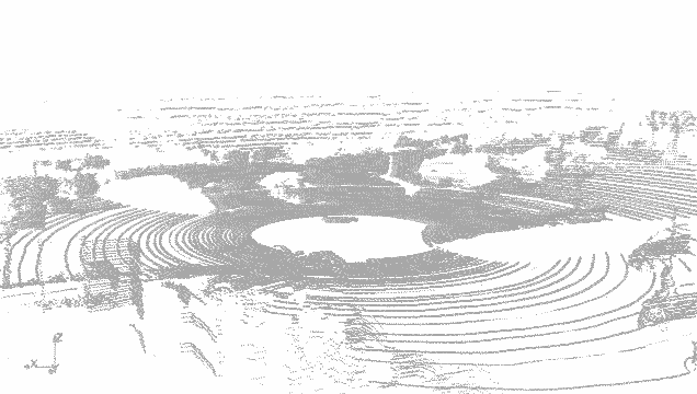
Geomorphology is the study of landforms and the different processes which shape them.
Environmental assessment is the most common application of geomorphology, namely in the areas of landslide prediction, earthquake prediction, volcanic activity monitoring, and coastal deformation.
Cost-effective and efficient alternative to helicopters

Better quality images and data collection

UAV mapping software for drone to fly along a pre-programmed route

Mapping
The definition of mapping is the graphical representation of information based on spatial relationships. Mapping is typically used to portray scaled geographical features forests, roads, and water. It is generally an ongoing process because regular changes in climate conditions and structural developments make it necessary to carry out regular mapping.
Originally, mapping involved just field measurements; however, the use of planes, and later helicopters, for aerial photography has significantly increased mapping possibilities. It is now possible, for example, to render multispectral images which enable climatic measurements.
Performing aerial photography with helicopters and planes is expensive, requires trained personnel, and cannot be undertaken at certain times due to safety regulations. A mapping UAV provides the ideal alternative; they are cheaper to operate, can be instantly deployed, and can be programmed pre-flight to follow a route via waypoint grids. In addition to this, the data is stored as a hard copy which can be easily inputted in geo-mapping software, allowing the swift implementation of the data.
Ideal sensor: Fixed Sensor 24MP
Survey
Surveying refers to the detailed inspection of an object or area in order to define its boundaries, establish its characteristics, and determine its potential. Surveying methods typically include observation, measurement, researching, and mapping. A survey is commonly performed in order to investigate an infrastructure, enable urban development, and assist in mining activities.
Surveyors use a number of different methods to gather information, including 3D measurement tools, sensing tools such as sniffer and infrared, and aerial photography. Each of these traditional surveying tools serves a specific purpose, and they must be used in conjunction with one another to build up the most accurate survey result, and this can be time consuming and costly.
Using a UAV for aerial mapping allows you to obtain detailed data quickly and easily. The drone enables you to bolt on whatever tools and accessories are required for each specific job, allowing you to customise the drone platform to achieve the best results. Aerial imagery and precise mapping serves as a replacement for traditional 3D measurement tools and sensing tools. A survey drone is therefore much more versatile and efficient that the traditional tools individually.
Ideal sensor: 10X Optical 24MP
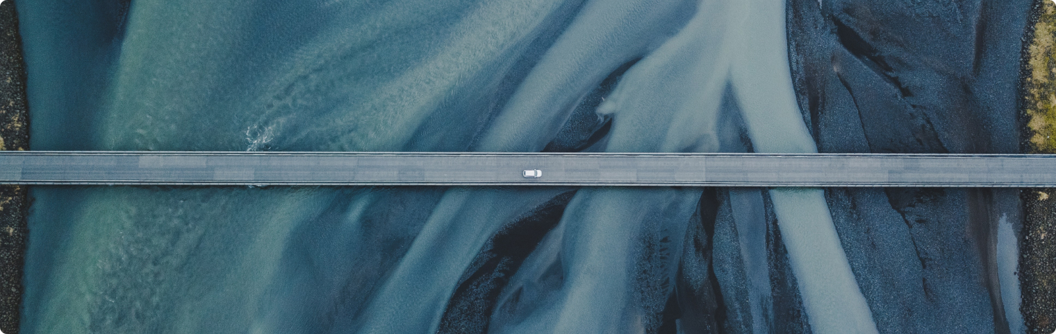
A Drone’s Eye View
Gather High Definition (HD) video footage and photos, aerial shots of buildings and infrastructure for surveying and inspection purposes, all from a drone’s eye view.
Nextech Drones provide the surveyor or security monitor with a complete airborne UAV aerial mapping system.